
Hike Report: Lower Haw
Sound of water
The Lower Haw River State Natural Area is located north and east of Pittsboro, stretching along the Haw from 15/501 to (or towards) Jordan Lake. There's a great hike that runs several miles along the river's north bank. You can park at Bynum or, as I did last weekend, in a small parking area off of 64-East where it crosses the haw.
It's noisy next to the highway. Between cars, the crunch of gravel. From the lot, a steep path leads down and away, to the river. The road noise follows as you go.
After the winter storm, it is wet and muddy. The path is slippery. I turn left at the river path, heading southeast. I don't know how far the path goes, but I guess the Haw itself has about 4 miles to reach Jordan Lake. Soon along the path I come to Sugar Creek.
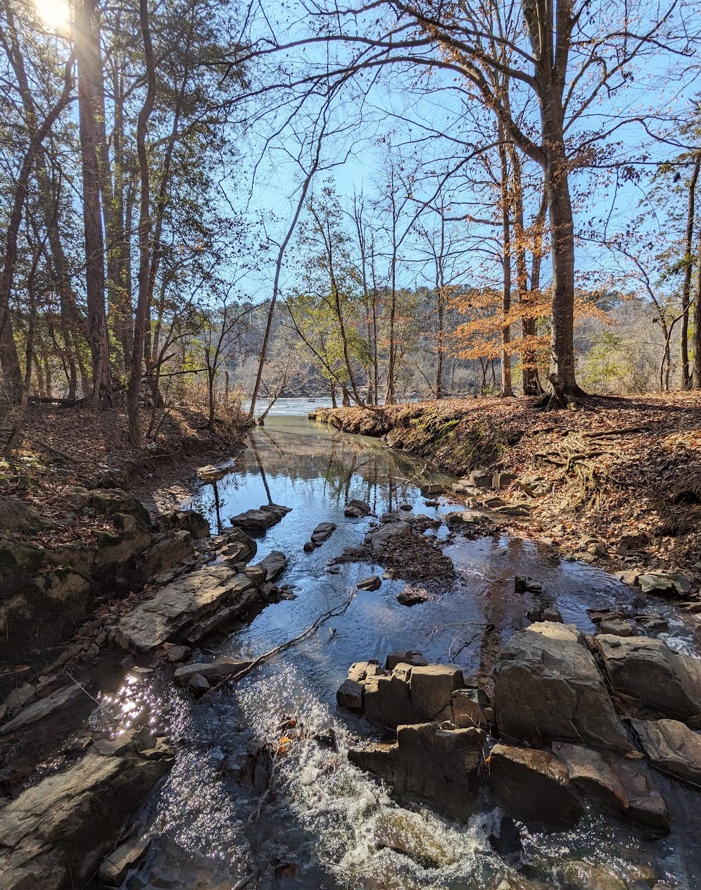
A mix of angular and squared off boulders provide easy passage. I stop in the middle to listen.
No more cars! The creek bubbles.
Most of the hike winds along the river, sometimes at the water's edge, sometimes curving into the forest. It's a mix of conifer and deciduous. I recognize white oak and sycamore. And loblolly. I swish off-path seeking more interesting pines, and instead found a thick patch of Christmas fern in the hollow of a big fallen tree.
About a mile in, just past a rapids, there is a sandy beach at a calm and sheltered place. A good swimming spot for summer months, not too far to carry some refreshments. Today it's sunny and still, so the beach is a warm resting spot. The river sings deeper than the creek:
The forest changes to all pine, the path curves away from the river. Pausing in the silence, titmice and ruby-crowned kinglets make quiet calls. …very quiet.
I've come as far as the place where the river rejoins itself, after the long island. It's wide and calm. The path goes on, but for now, I will turn back.
I've never walked south of 64. Thanks for sharing!
It feels like you brought me along for the hike!